There are plans to turn the current site of Kogarah Golf Course (which is actually next to the International Airport and not in Kogarah) into a residential area and to relocate the golf course further south into what are now publicly owned lands.
In 2016, there was a DA for the construction of a golf course in Cooks Cove South. It failed and one of the reasons for the failure was that the zoning of Cooks Cove South did not allow it. The NSW Department of Planning has now published a proposed amendment to the Sydney Regional Environmental Plan No. 33 - Cooks Cove to change the zoning such that a golf course on Cooks Cove South is legal.
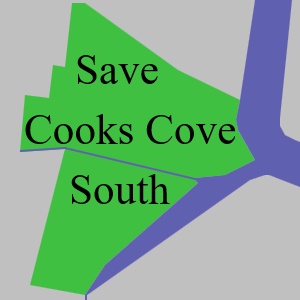
I haven't studied the merits of the residential development planned for Cooks Cove. Of much more concern to me is the alienation of public land for the golf course. The plan is for the relocated golf course to take up almost all the Cooks Cove Southern Precinct which is essentially the parklands and undeveloped areas between Bestic Street to the south, the M5 to the north, the residential areas of Arncliffe and Banksia in the west and the Cooks River and Muddy Creek in the East. The area is sometimes referred to as Barton Park but Barton park is only a part of the Southern Precinct.
The Southern Precinct comprises sporting fields, paths for bicycles and walkers, wetlands, a driving range and also some undeveloped and underused areas. The land is owned in part by the state government and its various authorities and in part by Bayside Council.
The most important and urgent thing to do is for as many of us as possible to make a submission by July 13.